


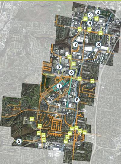
Blue Ash Connectivity Plan update
(August 1, 2022 - Blue Ash)
Blue Ash Public Works Director Gordon Perry gave council members an update on roadway improvement plans, traffic signal system upgrades, and connectivity plans at the July 14 City Council meeting.
The plans outline short- (1-2 years), medium- (2-5 years), and long-term (5+ years) goals and projects that will improve city streets, sidewalks, and traffic signals.
The Roadway Plan will ease congestion, increase safety, and make it easier to travel within the City. The short-term goal is the completion of the HAM-Plainfield Roundabouts Project, the medium-term goal is to upgrade our existing traffic control system for the Glendale-Milford Corridor from Reed Hartman Highway to I-71 and along Reed Hartman Highway from Glendale-Milford to the Target intersection, and the long-term goals are to install two additional roundabouts in the Glendale-Milford Corridor from Lake Forest Drive to Plainfield Road and the Grooms Road connector, which will connect Reed Hartman Highway to Grooms Road and provide improved access to the entire area.
The Central Traffic Signal System is a modern fiber optic system with newer adaptive technology that will connect all the traffic signals in the City. It evaluates real-time traffic information and adapts the timing of the traffic signals to ease congestion. In the future, it will be capable of connecting to and communicating with smart vehicles in real-time to monitor traffic flow and provide traffic information. Short-term goals include signal timing updates, traffic controller upgrades, and installation of fiber optic cabling along Glendale-Milford/Pfeiffer, Reed Hartman Highway South of Glendale-Milford, and also connecting Kenwood Road/Creek Road, Plainfield Road/Cooper Road intersections, and the Municipal Building.
Medium-term goals include implementing the central system and completing fiber connections at Glendale-Milford Road and Cornell Road. In the long-term, the goals are to capture EMS calls to preemptively activate traffic trigger signals for emergency vehicles, complete the connections and communications plan with buildings, and connect Grooms Road/Kemper Road and Business Way/Kemper Road intersections via radio to the central system.
The Connectivity Plan focuses on pedestrian, bicycle, and Metro improvements to increase safety and access. The Short-term goal is the completion of the following sidewalks within the Neighborhoods at Summit Park and installation of wide shoulders along Alliance Road similar to those along Malsbary Road. The medium-term goal is to complete sidewalks on Grooms Road, McKinley Road, Cornell Park Drive, extend the Hunt Road sidewalk to Waxwing Drive in Reading, and add sidewalks to the east side of Reed Hartman Highway between Glendale-Milford Road and Creek Road. The long-term goal is to complete the Osborne Road and Grooms Road connector sidewalks and complete the Rails-to-Trails corridor if the opportunity ever arises.
Click here to watch the presentation given to Council on YouTube.